

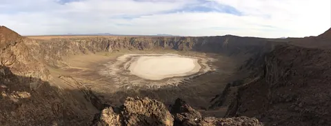
Al Wahbah Crater: Geology and a Thoughtful Visit
Discover Al Wahbah Crater in western Saudi Arabia, understand its volcanic origin and prepare a thoughtful visit with practical route and access checks.

Plan an Al Hada and Taif mountain visit with current access, weather, transport arrangements and an itinerary suited to your group.
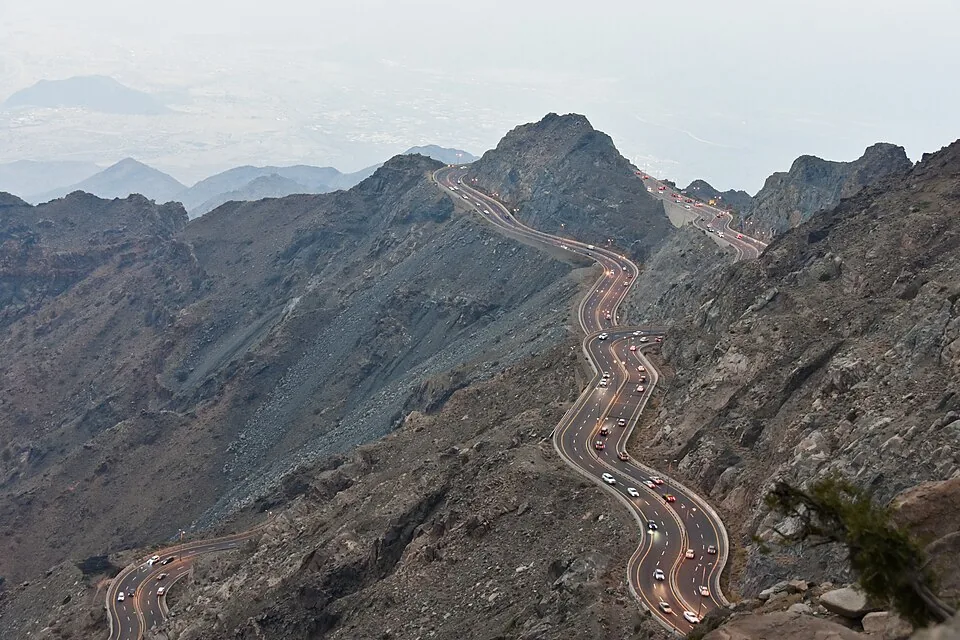
An Al Hada and Taif visit is most useful when the mountain journey, destination and return route are planned together. A dramatic road photograph can inspire the trip, but it does not establish current access, travel conditions or the time needed for your own itinerary. Choose a specific activity and check its operator's information before treating the broader Al Hada name as a complete plan.
Visit Saudi's nature and adventure guide, published for 2022, includes Al Hada in its Taif mountain context. It is a background source, not a current timetable or road-status notice. The planning method here is original and deliberately leaves live access, bookings and weather to current official or operator information.
Use the Makkah Region guide to orient yourself. Taif's mountain setting offers a different experience from Jeddah's coast or the region's other destinations. An administrative region can contain very different landscapes, so do not use a single regional label to assume equal weather, access or travel time between places.
Select the actual arrival point and clarify whether your plan involves a road journey, an organised activity or both. Ask where you meet, what is included and how the return is arranged. A booking page should identify the activity clearly; a general destination article cannot guarantee availability or that a particular attraction is operating on the day you travel.
If combining Al Hada with other Taif experiences, allow time for the transitions and avoid a list of tightly spaced stops based only on map distance. The travel and transport guide provides a broader framework for Saudi journeys. A manageable itinerary leaves space to enjoy the destination instead of making the road itself a deadline.
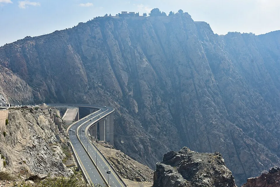
Review the current weather forecast, relevant alerts and road or operator information. Mountain visibility and conditions can affect the experience even where the city at the start of the journey appears clear. Do not interpret an old traveller's account as evidence that the same route and stopping points remain available.
The climate and seasons guide helps distinguish seasonal context from the day's conditions. Use it to frame preparation, then rely on current information for the actual trip. A summer destination label is not a promise of a specific temperature, and a clear-weather promotional image cannot establish visibility on your date.
If an operator changes a route or cancels an activity, confirm the revised arrangements and applicable booking terms. Avoid treating an access restriction as a challenge to find an unofficial way around it. Authorised routes and instructions exist to manage the destination under its current conditions.
Where you travel by road, choose transport appropriate to the journey and follow current traffic instructions. Stop only in permitted, suitable areas. A scenic bend is not automatically a safe place to park or take photographs. Do not ask a driver to stop in an unsafe position simply because a viewpoint is briefly visible.
Observe how the route reveals changing terrain and the relationship between road and slope. These are useful visual impressions, but avoid making engineering conclusions about road design or stability from appearance alone. If you write about the journey afterwards, identify the conditions and date rather than implying that your experience describes every future trip.
The primary photograph here shows the mountain road at Al Hada. Any wider regional comparison image must retain its own location in the caption. A road elsewhere in Saudi Arabia should never be renamed Al Hada because it looks similarly dramatic. Named places are part of what makes destination information trustworthy.
Consider who is travelling and how much time outside or in transport they want. Ask operators about access, walking surfaces and facilities if anyone needs a particular arrangement. Do not infer accessibility from one photograph or assume that every viewpoint suits children and older visitors equally. Specific information about the chosen stop is more useful than a broad family-friendly description.
Plan drinking water, appropriate clothing and rest around current conditions and the activity. Check food or other facilities rather than assuming they exist at every scenic stop. Keep the return journey and pickup point clear, especially if your group separates for different activities. A shared plan avoids relying on vague meeting instructions in an unfamiliar destination.
An illustrative first visit might use one confirmed main activity and one flexible secondary stop, with enough time for the journey and breaks. This is an itinerary structure, not a recommendation of named operators or a promise that all desired stops can fit into one day. Adjust it to current access and the group's pace.
Use the visit to notice the difference between mountain travel, town experiences and the wider region. Do not treat the landscape only as a backdrop for social photographs. Ask a guide about the site-specific story and keep verified explanation distinguishable from your own impressions.
Al Hada and Taif are easier to enjoy when the plan is precise enough to be practical and flexible enough to respond to conditions. Identify the destination, verify the current arrangements and give the journey the time it needs. The result is a more thoughtful mountain visit without relying on a promise of perfect weather, unrestricted access or a rushed collection of landmarks.
Explore About Makkah Region, Saudi Arabia
Discover Al Wahbah Crater in western Saudi Arabia, understand its volcanic origin and prepare a thoughtful visit with practical route and access checks.
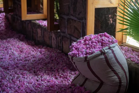
Understand Taif rose cultivation, seasonal work, distillation and living heritage, with dated sources and thoughtful questions for an authorised visit.
0 properties selected